Commercial Drone Roof Inspections in West Valley City, UT

Document expansive and hard-to-reach commercial roofs in West Valley City with drone imagery, mapped observations, and a clear plan for hands-on follow-up.

Document a large or difficult roof

A long roof can hide a loose edge or damaged curb between routine walks. Drone imaging gives the property team a visual record of broad surfaces and areas that are difficult to reach from a ladder. In West Valley City, UT, it can map roof areas at a distribution property near the North SR-201 corridor or document several sections at a mixed-use property. Images support inspection planning; they do not confirm concealed moisture or replace close review of a suspect detail.

We define the building, roof sections, and questions before capture. The flight plan accounts for access, operations, nearby activity, and needed views. Images are organized by roof area so staff can find a seam, drain, penetration, or perimeter. If a view raises a concern, we identify where a hands-on visit or test cut is needed before repair scope is set.
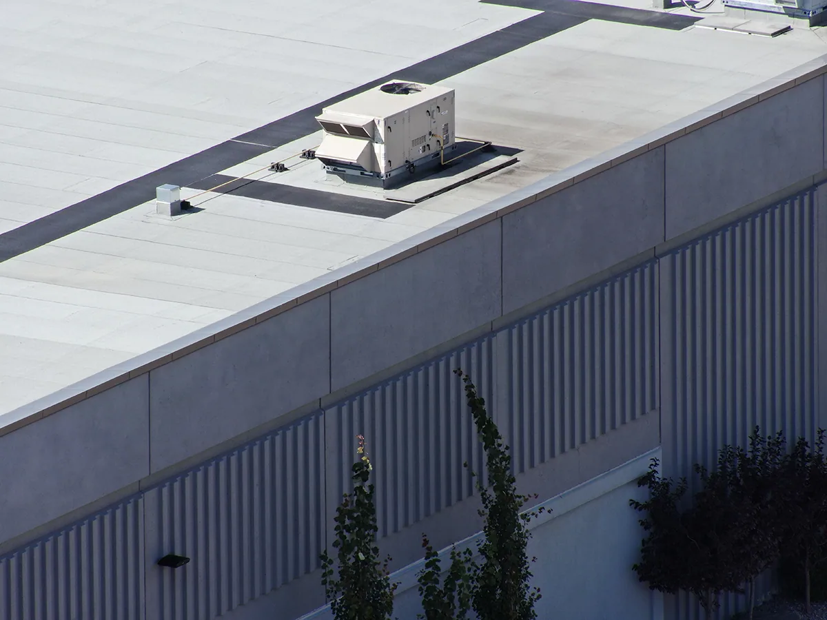
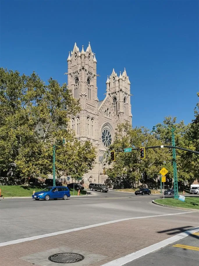
Drone imaging helps when a roof is expansive, split into many sections, or awkward to view from usual access points. Aerial photographs can show ponding patterns, debris, displaced items, or differences between roof areas. They also create a dated baseline for comparison after maintenance. The goal is a useful visual record that helps the owner locate a condition and decide what to inspect next.

201 Mountain View Park is planned as a multi-building industrial and logistics park. Images from each roof need clear labels. We group views by building and section, note camera direction, and flag places where equipment or shadows limit visibility. Staff can pair that overview with roof condition reporting for comparison across visits.

Commercial Drone Roof Inspections

Define access, boundaries, and operating needs

Commercial Drone Roof Inspections

Before the flight, we confirm property boundaries, roof areas in scope, and the site contact. We ask about loading schedules, pedestrian routes, roof access, and sensitive operations. Staging should not interfere with a truck route or dock, while a mixed-use site may require coordination around tenant entries. Those details shape the operator’s position and practical camera views.

We identify what the imagery should help resolve. Comparing roof sections may call for repeatable viewpoints; a perimeter concern may need more than one angle. If weather, visibility, or access prevents a clear view, we state the limit and recommend another method. Partial aerial coverage is not presented as a complete inspection.

Translate images into roof locations

We organize images by roof section and flag visible changes such as displaced metal, an open-looking seam, or debris near a drain. The camera cannot explain why a detail moved or whether water reached insulation. We describe the visual indicator, its location, and the inspection step that could confirm it.

Building labels, section names, direction, and image numbers make each observation traceable. A wide view gives context; a close view may show surface condition without revealing attachment or layers below. If a concern needs touch, measurement, or an opening, the follow-up scope identifies that work. For active water, leak tracing and repair may follow imagery.

Commercial Drone Roof Inspections

Know what a drone cannot confirm

Aerial imagery records what the camera can see at the time of capture. It cannot test membrane adhesion, verify a wet core, assess concealed flashing laps, or prove that a surface is watertight. Reflections, shadow, standing water, rooftop equipment, and the camera angle can obscure details. A photograph that appears to show an open seam is a reason to inspect that location, not a final diagnosis of the assembly.

We pair visual review with a ground-level or roof-level check when the finding affects repair scope, safety, or a capital decision. For moisture questions, an infrared moisture survey may help identify areas for confirmation, and a test cut may be needed to verify the roof layers. A hands-on commercial roof inspection checks details at closer range. We keep those methods distinct so the owner understands which conclusions come from an image and which were confirmed in the field.

Plan around West Valley City operations

The northern industrial corridor near SR-201 includes trucking and distribution activity, with SR-201, Bangerter Highway, and I-215 used for industrial access. We confirm parking, delivery movement, and work timing with the building contact before staging. The route to the roof should not obstruct operations.

Civic, retail, office, hotel, and multifamily development are all included in the Fairbourne Station plan. For a property there, we confirm the access path and perimeter needs with its contact. We confirm pedestrian access and the preferred contact method before capture. For a property near the North SR-201 industrial corridor or Fairbourne Station, those specifics guide the work plan.

Move from visual concern to verified scope

The closeout should tell the owner what was photographed, what was visible, which areas were not captured, and what requires another method. If imagery shows a condition consistent with repair, we can mark the area for hands-on confirmation and develop a defined work scope. If multiple sections show different conditions, we keep them separate rather than propose one treatment for the entire roof. That distinction helps match work to actual conditions and budget.

After confirmation, options may include a targeted commercial roof repair, a maintenance visit, or a broader review for replacement planning. An aerial survey can also support maintenance planning for distribution centers and other large buildings. The owner receives labeled imagery and recommended next steps, with a clear note when a finding remains unverified. We do not treat an image set as a warranty inspection or a certification of roof condition.

Commercial Drone Roof Inspections

Common questions

When is drone roof imaging useful?

It can help document broad roof surfaces, multiple sections, and areas that are difficult to view from standard access points. The best use is to create a location-based visual record or identify where closer inspection is warranted. It is less useful when the question depends on concealed moisture, material bond, or a detail that needs physical testing.

Can drone photos diagnose a roof leak?

Images may show a visible opening, displaced flashing, debris, or another clue near a reported leak. They cannot prove that a photographed condition caused the interior water or reveal every concealed path. We compare the images with leak history and confirm likely defects at roof level before pricing permanent repair.

Can you capture several buildings in one visit?

Yes, when the property boundaries, access, operating schedule, and planned coverage are clear. We label each building and roof section so the image set remains useful after the visit. A site contact can help coordinate staging and avoid conflicts with deliveries, tenants, or other work.

What if a roof area is hidden by equipment or shadow?

We note the visibility limit and determine whether another view or an in-person inspection can resolve it. A blocked area should not be presented as inspected just because nearby roof surfaces were photographed. If the hidden section matters to the decision, we recommend the access method needed to see it clearly.

Do drone images replace a hands-on roof inspection?

No. Aerial images help with overview and documentation, while a hands-on inspection can check details by touch and closer observation. Moisture, attachment, and concealed layers may need additional testing. We explain which conclusions are supported by imagery and which require field confirmation before the owner approves repair work.

Document a large or difficult roof

ServicesRoof SystemsIndustriesProperty TypesService AreasDamage RepairCapabilitiesManufacturersContactAboutRequest a Roof Assessment555-555-5555
Call555-555-5555